Upcoming Events
Sherlock's Genealogical Adventures
So? What Cities did I go to in Poland?
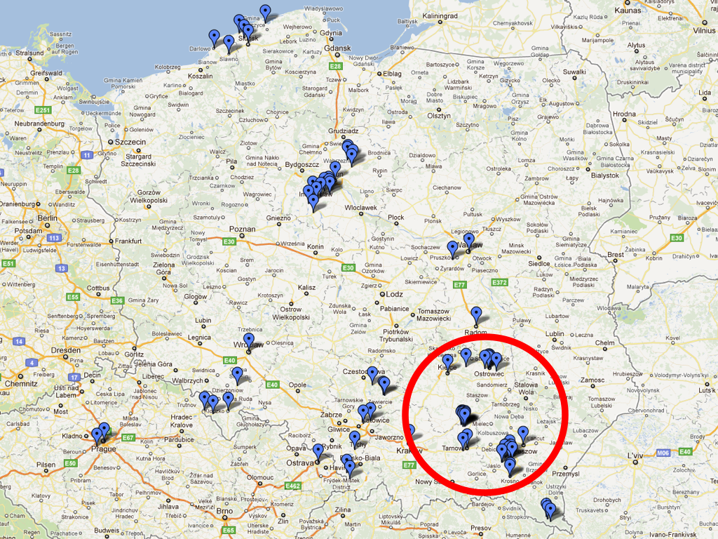 Many people have asked me where I was when I visited Poland this summer, especially my genealogical colleagues, so I thought I would answer that question with a map.
This map only shows the places I have been in 2011 and only marks the cities that I was in. I am working on a map that will show the cities I visited in Poland during my 2004 and 2006 trips. Once that is done I can overlay the maps so you can see all the areas I have been to. Basically I have covered the overall central portion of Poland leaving only small areas on the far east and west part of Poland that I have not been to yet. 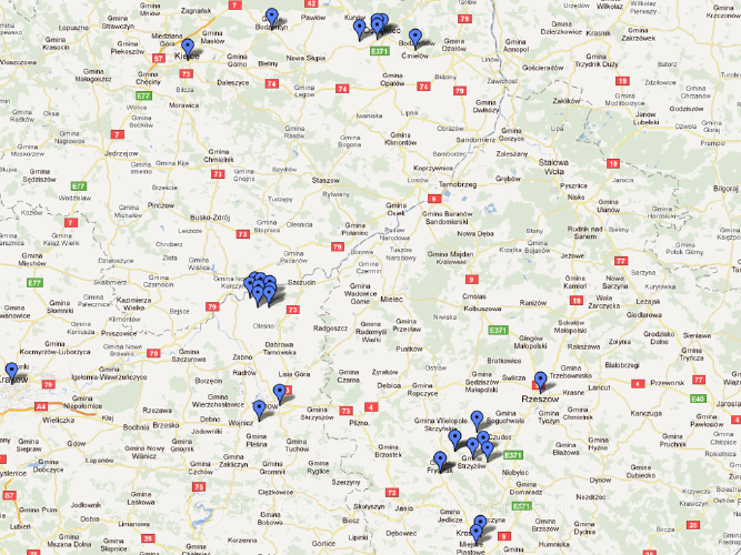
I hope to create a more detailed map soon with the position of every location that my new GPS camera recorded, then the latitude and longitude recorded on each photo will place a marker on the map. I have to figure out how to extract that a data from from the photo EXIF and put it into a database format that Google Maps understands. This obviously can not be done one by one (I have over 6,000 photos from this trip), so I have to find software that will handle the task.
The area in the red circle marks the area I spent doing genealogical research, and I have included a map that shows that area in greater detail.
When you subscribe to the blog, we will send you an e-mail when there are new updates on the site so you wouldn't miss them.
About the author
Sherlock's Latest Blog Post
Blog Tags
Blog Calendar

- Articles View Hits
- 2545048
We have 131 guests and no members online





Comments